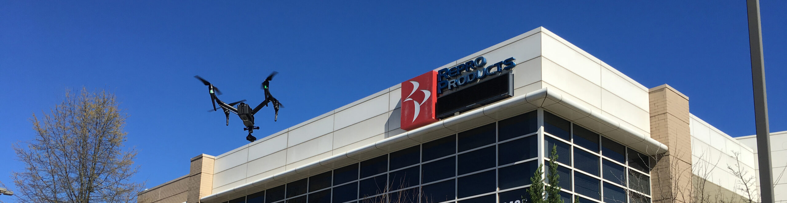
Repro Products, Inc. (RPI), your Autodesk software partner and 3D laser scanning provider, also offers UAS (drone) pilot services. Dave Young, one of our Autodesk-authorized Application Engineers, is a certified Pilot in Command having passed the FAA Part 107 Aeronautical Knowledge Test and receiving his drone license in 2020, 30 years after receiving his Private Pilot’s license. Dave has worked at Repro Products for over 14 years and was previously employed as a Survey Crew Chief, CAD Manager and IT Manager. His knowledge of Civil Engineering provides an additional layer of expertise to his scans.
As Pilot in Command, Dave oversees and is directly responsible for the safe operation of the drone and any additional crewmembers, such as a visual observer. The physical roles vary depending on the nature of the flight. In some instances, the Pilot in Command may be the only person involved, while for others there may be separate operators for the drone and the on-board camera. For larger sites, a visual observer may be employed to maintain visual line-of-site while the drone operator remains in a fixed location, but not able to maintain the visual line of site.
Use of Drones in the AEC Industry
Given their versatility, the application of drones in the AEC industry can span all phases of a project, from preliminary design through construction, and even marketing. Rather than relying on manpower to reach potentially unsafe or challenging terrain, you can choose a drone to capture data. For example, instead of sending a worker into an unsafe environment to photograph and document information, we are now able to fly a drone on-location and obtain the same information with reduced cost as well as reduced risk of injury. This imagery can also be quickly delivered to team members without the added cost of having the entire team on-site and separated from other important tasks.
Drones are also being utilized for digital/laser mapping and modeling. Projects which would typically take months to complete are now being accomplished in minutes using drones. Drones provide a higher level of accuracy to the mapping and modeling process, which eliminates expensive mistakes. While not as accurate as a terrestrial based laser scanner, drone imagery can be used to generate 3D point clouds which may then be combined with terrestrially obtained data to create point clouds which include inaccessible areas such as a roofs.
Throughout the construction phase of a project, drones are being employed to inspect, monitor and document the construction process. Drones are also used to measure volumes for landfills and open mining operations. A drone can capture in hours what it would take a surveyor days to accomplish. Many companies in the AEC industry are making use of drones-as-a-service: hiring a provider like Repro Products to conduct a drone flight rather than investing thousands of dollars in a drone and a qualified, licensed operator (Pilot in Command). Among the applications for drones are:
- Aerial and orthographic photos of large sites
- Generation of mesh models and 3D point clouds of buildings
- Building, bridge and pipeline inspection (not including power transmission lines)
- Raw video footage for promotional videos
Would you like to learn more about how drone services can save time, lower costs and unlock information about your job site? Contact us at 678-385-2185 or by email at ttaylor@reproproducts.com.